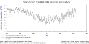
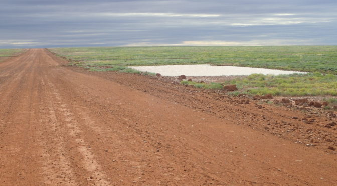
 From April to July 2016.
There is a brief period between working to get financial stability and physical decrepitude that makes NOW the time to do this trip.
Happily, this trip coincided with a relatively wet winter in the west and the first rains breaking a four year El Nino drought in the east. The wide grass plains of 2016 had been bare, dusty, shimmering gibber and clay dust bowls at the same time a year earlier.

April is the beginning of the cooler weather in the south-west of Western Australia. Midday temperatures drop from the low 30’s Celsius to low to mid 20’s. The burning summer sun is tempered with the ultraviolet (UV) hazard rating starting to fall from summer values of 13 or 14 to more tolerable 8-10’s. The pale English and translucently anaemic Scots from latitudes where UV 8 is a mid-summer treat can eat your hearts out.
Winds change from scorching easterlies blowing out of the desert centre of the continent to a regular progression of cool moist southerlies off the Southern Ocean followed by periods of dry easterlies, then warmer northerlies as the high pressure weather systems move from the west coast to the east. The passing high pressure system is then replaced for a day or two by a moist low pressure cell, usually from the south, with the change being marked by a few days of generally light rain.
You can see how the winds and temperatures are at any time by checking the excellent Australian Bureau of Meteorology website BOM Interactive Weather charts . While there check out the section on long-term trends in temperature and rainfall which have resulted in Perth losing around 20% of its annual rainfall over the last 50 years Long term temperature changes in south west WA

